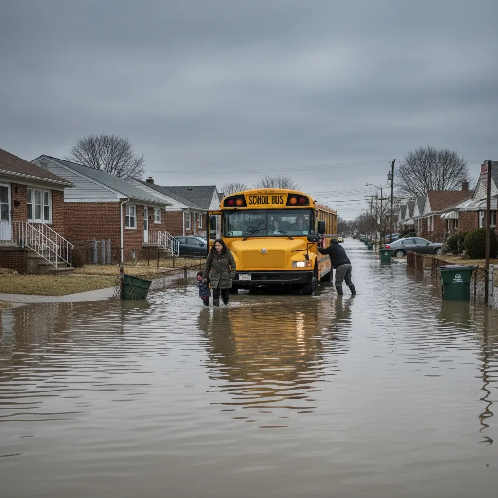
Howard Beach Coastal Communities Face Winter High Tide Flooding By Newstrix | January 14, 2026 | Health & Weather NEW YORK — Lowlying streets in Old Howard Beach and Hamilton Beach were submerged under several inches of brackish water during Thursday's high tide cycle. The localized flooding, triggered by a combination of full moon high tides and strong easterly winds, has renewed community calls for rapid infrastructure upgrades. Tidal Surges Inundate Intersections Near Hawtree Creek Basin Residents living along 102nd Street and 165th Avenue woke to water rising quickly into their driveways and front yards. According to the Queens Daily Eagle, tidal water from the basins surrounding Old Howard Beach and Hamilton Beach flooded streets and local yards, disrupting morning commutes and delaying school buses. City environmental protection crews were deployed to monitor major drainage outfalls, but the sheer volume of water overwhelmed the local stormwater infrastructure. Many drivers were forced to turn back as high water levels made key evacuation routes impassable for passenger vehicles. City Council Members Call for Expanded Coastal Restoration Funding "The frequency of these sunny day flooding events is rising, and our neighborhood needs a permanent structural solution," Queens City Council Member Joann Ariola said Thursday afternoon during an inspection of the Hawtree Creek shoreline. Ariola confirmed that she is working to secure additional capital funding for tidal gate installations along Jamaica Bay. And the proposed funding would support the construction of new bulkhead systems along vulnerable stretches of the waterfront. These barriers are designed to prevent seawater from washing directly onto residential blocks during routine high tides. Local Businesses Adapt to Recurring Coastal Flood Events Merchants along the southern end of Cross Bay Boulevard have installed permanent flood barriers at their entryways to protect their stock from saltwater damage. Business owners report that recurring hightide events have made it difficult to maintain regular operations during the winter months. This challenging environment has led to a coordinated neighborhood effort to track tidal patterns and share safety tips. Residents regularly exchange realtime updates and photograph water levels on the to help neighbors move their parked cars before the tide peaks. These grassroots communication efforts are vital, especially when emergency services are stretched thin by other regional events. For instance, public safety resources have been busy with ongoing cases, including the earlier this winter. Army Corps of Engineers Evaluates Jamaica Bay Sea Wall Options The U.S. Army Corps of Engineers is currently reviewing several longterm coastal storm risk management plans for the Jamaica Bay region. The proposed options include a series of storm surge barriers, naturebased flood protections, and elevated shorelines. And the agency is scheduled to release its draft environmental impact statement for public review later this spring. Local civic associations are planning a series of informational meetings to help residents understand how these federal proposals could impact property values and neighborhood access. Frequently Asked Questions What is being done to address Howard Beach flooding in the short term? In the short term, the NYC Department of Environmental Protection is clearing debris from storm sewer outfalls and installing temporary backflow preventers on lowlying catch basins. These measures are designed to reduce the volume of seawater that can back up onto residential streets during normal high tides. Where can residents report street flooding in Howard Beach? Residents should report all street flooding incidents by calling 311 or using the NYC 311 mobile application. These reports help city planners track where water collects most frequently, allowing them to prioritize catch basin maintenance and emergency response resources.