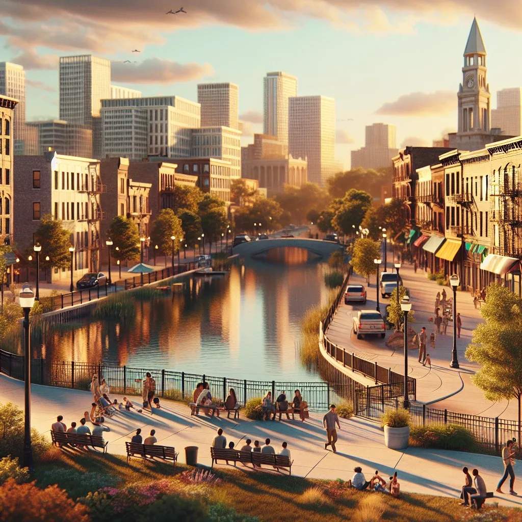
NEW YORK — Howard Beach officials today launched a comprehensive $12 million Waterfront Resilience Plan, designed to bolster coastal defenses and protect homes and businesses from the increasing threats of rising sea levels and intense storm surges. The announcement, made at a press conference overlooking Jamaica Bay, marks a significant step in the community’s ongoing efforts to adapt to climate change challenges. The multiyear initiative, slated to begin in mid2026, focuses on strategic infrastructure upgrades across key vulnerable areas, including portions of Hawtree Creek and the Shellbank Basin. City Council Member Joann Ariola highlighted the critical need for proactive measures to safeguard the unique waterfront character of Howard Beach while ensuring resident safety. Strategic Investments to Fortify Coastal Defenses "This $12 million investment represents our unwavering commitment to the future of Howard Beach," stated Council Member Ariola, who secured a substantial portion of the funding through City Council allocations and state grants. "We are building a more resilient community, one that can withstand the environmental pressures of the 21st century." The plan encompasses a range of projects, including the reinforcement and elevation of existing seawalls, the installation of new green infrastructure like living shorelines and enhanced stormwater drainage systems. These measures aim to reduce flooding frequency and severity, which have become pressing concerns for local homeowners, as previously reported by the Queens Daily Eagle. Community Input Shapes Resilience Efforts Development of the Waterfront Resilience Plan involved extensive collaboration with local civic groups, environmental experts, and residents. Over a dozen public forums and workshops were held throughout 2025 at the Howard Beach Library and the local community center, gathering crucial feedback on neighborhoodspecific vulnerabilities. This inclusive approach ensured that the plan addresses the realworld challenges faced by those living closest to the water, such as property owners along 164th Avenue. "Our residents' voices were instrumental in shaping this plan," confirmed Denise DeGennaro, President of the Howard Beach Civic Association. "It reflects a bottomup approach to environmental protection." Anticipated Impact on Residents and Businesses While construction is not expected to cause major disruptions, city officials will be providing regular updates through and dedicated project websites. The overall goal is to significantly reduce property damage, lower insurance premiums in floodprone zones, and enhance the overall quality of life for all residents. Local businesses along Cross Bay Boulevard and throughout the neighborhood are also expected to benefit from increased stability and reduced floodrelated closures. "A more resilient Howard Beach means a more secure economic future for our local shops and restaurants," commented Frank Bellino, owner of a hardware store on Cross Bay Boulevard. LongTerm Vision for a Sustainable Howard Beach The new plan represents a significant step for a community that has long balanced its unique waterfront character with the growing environmental challenges of Jamaica Bay. It integrates lessons learned from past storm events and aligns with broader citywide climate resilience goals. Further phases of the plan, extending through 2028, may include additional marshland restoration and expanded public access points along safer sections of the waterfront. The initiative seeks to create a more harmonious relationship between the community and its aquatic environment. Explore other listings for more information on the thriving Howard Beach economy. Questions and Answers on Waterfront Resilience Plan What is the primary objective of the new Waterfront Resilience Plan for Howard Beach? The plan's main goal is to protect Howard Beach homes and businesses from rising sea levels and storm surges by fortifying coastal defenses and implementing green infrastructure projects. Which specific areas within Howard Beach will benefit most from this plan? Key vulnerable areas, including sections along Hawtree Creek and the Shellbank Basin, are specifically targeted for seawall reinforcement, green infrastructure, and improved drainage systems. How was the community involved in the development of this plan? The plan was shaped through extensive community engagement, including public forums, workshops, and direct feedback from residents and local civic associations, ensuring it addresses specific local needs. Regular updates will be provided by city officials.